Map
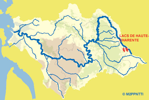
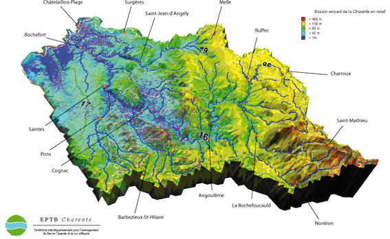
MAP OF THE CHARENTE CATCHMENT AREA
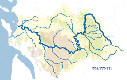
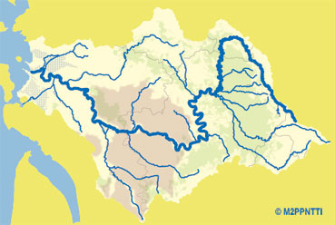
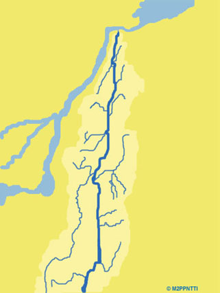
MAP OF THE RICHELIEU CATCHMENT AREA
THE AFFLUENTS OF THE RIVER CHARENTE
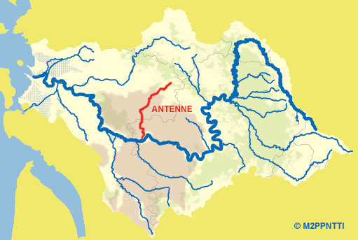
The Antenne
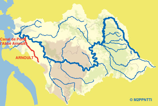
The Arnoult
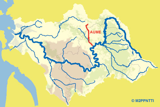
The Aume
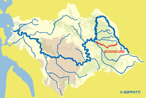
The Bonnieure
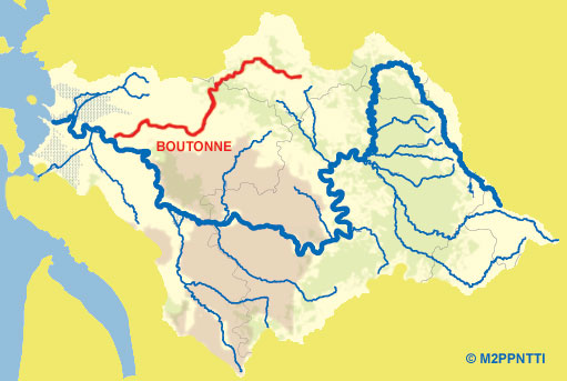
The Boutonne
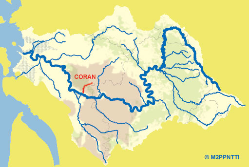
The Coran
The Couture

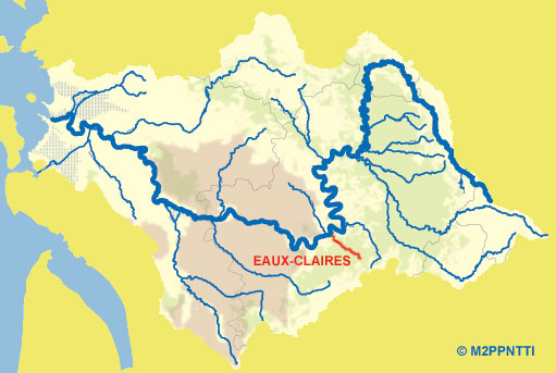
The Eaux-Claires
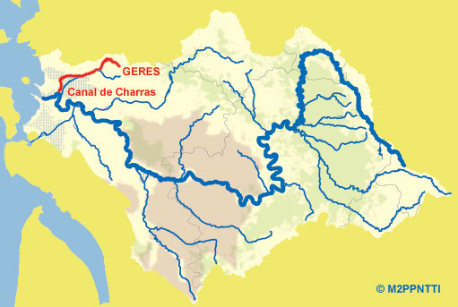
The Gères
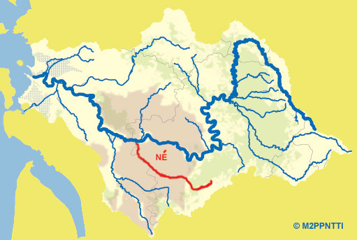
The Né
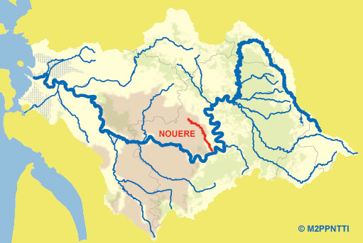
The Nouère
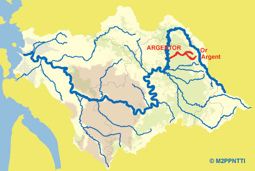
The Argentor
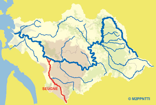
The Seugne
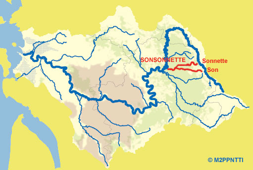
The Sonsonnette
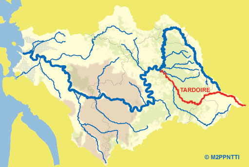
The Tardoire
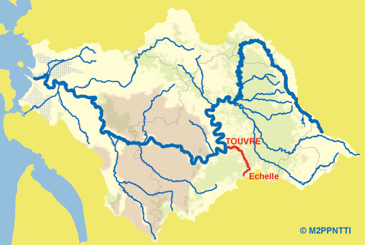
The Touvre
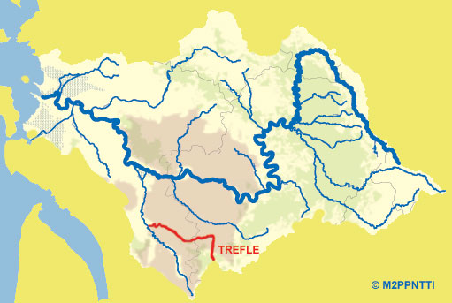
The Trèfle
The Haute-Charente Lakes
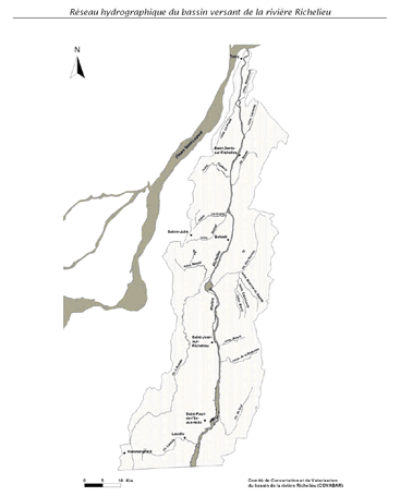
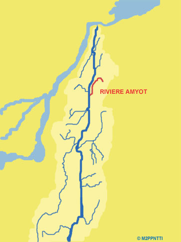
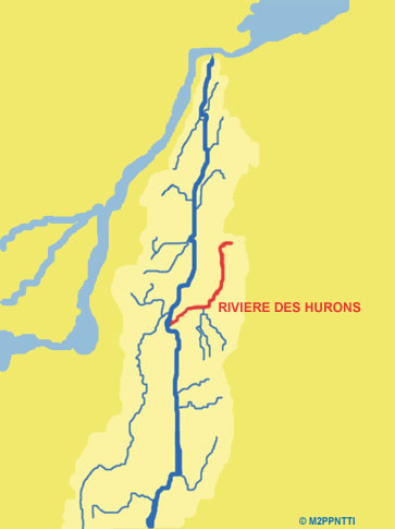
THE AFFLUENTS OF THE RIVER RICHELIEU
River Amyot
River des Hurons
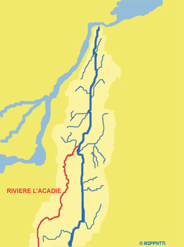
River L'Acadie
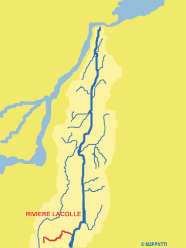
River Lacolle
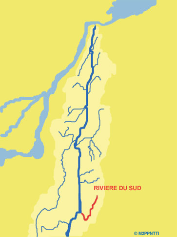
River du Sud
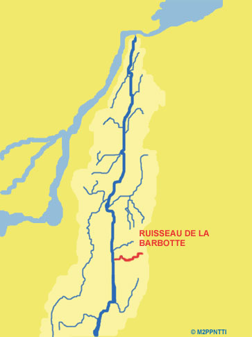
The Barbotte
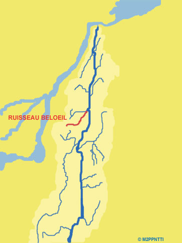
The Beloeil
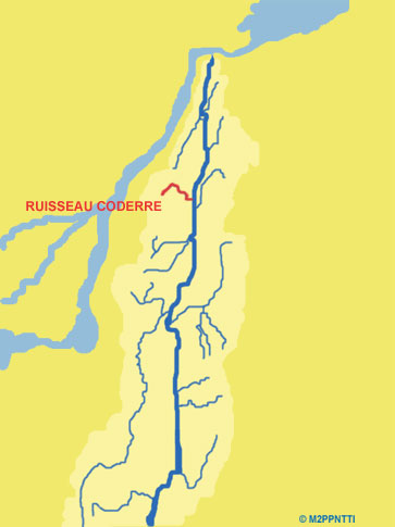
The Coderre
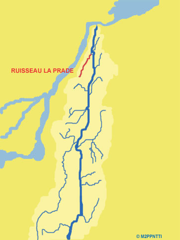
The La Prade
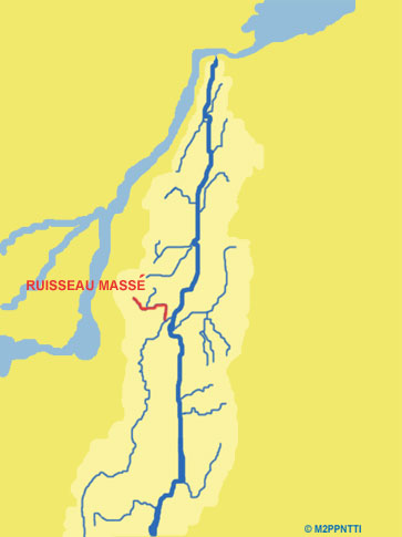
The Massé
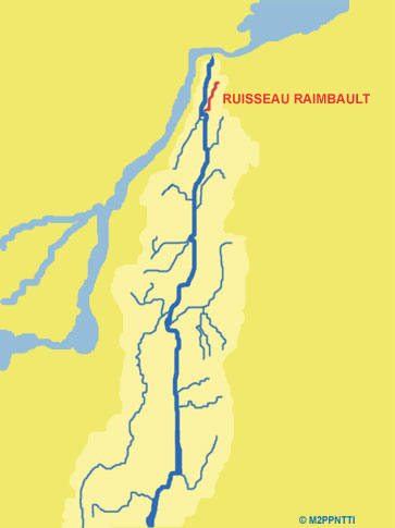
The Raimbault
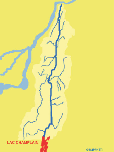
Champlain Lake
RELIEF OF CHARENTE'S CATCHMENT AREA
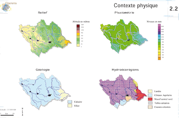
PHYSICAL GEOGRAPHY OF CHARENTE CATCHMENT AREA
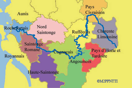
THE "PAYS" OF THE CHARENTE CATCHMANT AREA
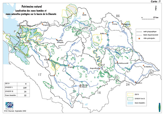
NATURE HERITAGE OF CHARENTE CATCHMENT AREA
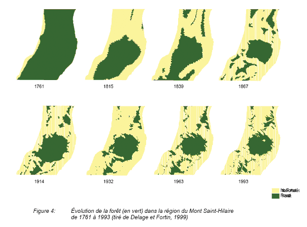
FOREST EVOLUTION IN MONT SAINT-HILAIRE
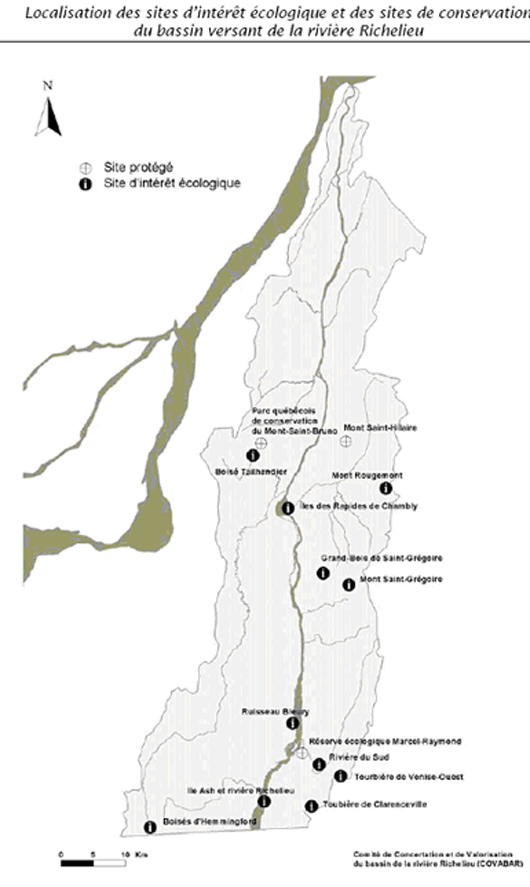
THE SITES OF ECOLOGICAL INTEREST IN THE RICHELIEU CATCHMENT AREA
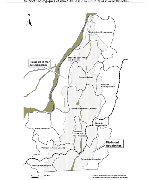
ECOLOGICAL DISTRICTS AND RELIEF OF RICHELIEU